|
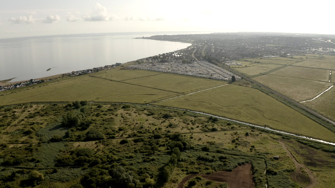
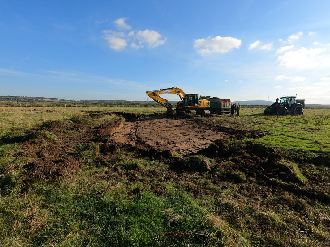
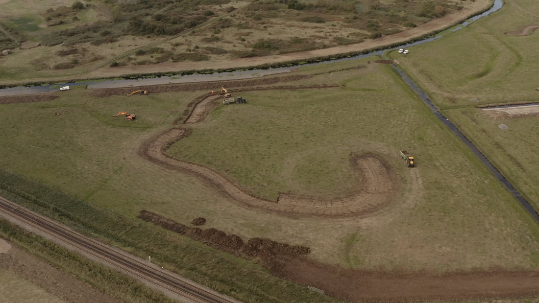
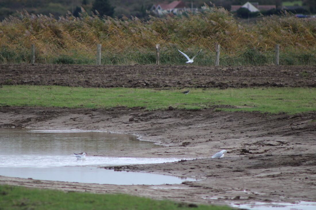
Blog by Audrey Jost - Assistant Warden at RSPB Seasalter Levels Seasalter Levels is an RSPB reserve located in the South East of England, north of Canterbury. Acquired in 2007, the Levels were first constituted of only one unit named LNR (Local Nature Reserve). Since then, thanks to the efforts of the Seasalter Partnership (comprising RSPB, Natural England, Canterbury City Council and Swale Borough Council), the Levels have expanded to include four new management units (Whitstable Bay Estate, Monkshill, Alberta and Vikings Estate), increasing its overall size from 71.5 ha to 290 ha. Constituted of mostly lowland wet grassland habitat, the Levels have, over the years, experienced a lack of appropriate management, leaving the area in poor condition for breeding waders and wintering wildfowl. Thanks to funding from the Green Recovery Challenge Fund and the EU LIFE project, a large-scale restoration project of 228 ha of the reserve was able to be put in motion. The project includes the creation of new topographic features aimed at improving the habitat for wildlife, particularly for wading birds such as lapwing and redshank, respectively classified as Red and Amber under the UK Red List for Birds (2015). Features created will help manage and retain water in fields, resulting in shallow pools with muddy margins that provide suitable habitat for wading birds to forage for invertebrates in soft, damp soils. The features include: Rills: Meandering channels varying in depth that retain water for a longer period than adjacent grassland. They are arranged in a branching structure supplying water from the perimeter ditches to the middle of fields. They also provide long muddy margins, increasing the feeding area for wading birds. Scrapes: Shallow depressions with irregular outlines and gentle slopes that seasonally hold water, supporting a rich invertebrate life. Ideal for redshank, that prefer shallow pools of water for feeding. Bunds: Acting as a barrier to minimise water runoff, earth bunds increase water infiltration in the soil. Long, ditch-side bunds also provide an opportunity for water vole colonisation by maintaining dry banks when the water levels are at their highest. Islands: Low, flat features that sit higher than peak water levels and provide refuge for waders and wildfowl from nest flooding and give safe spaces for winter roosting. The works, that officially started in September 2021, also include the creation and repair of crossing points and culverts to allow fine water level control. Ditch enhancements and reprofiling of existing banks will provide niche habitat for water voles and aquatic invertebrates. Whilst it is still a work in progress, changes on site are becoming more and more noticeable, and not only to the human eye! To date, restoration work has been completed on two out of the four units. As we progress, we will start to introduce large scale grazing across the reserve that will entail the installation of gateways, fencing and a livestock corral. Grazing is an essential part of reserve management as a short grass sward gives ideal habitat for ground-nesting lapwing. By grazing with cattle and flooding the fields, new plant communities will develop, including wildflowers such as red clover that provide a nectar source for bumblebees like the endangered shrill carder bee, which has a local population on the nearby sea wall. Further updates will come as work continues.
0 Comments
Leave a Reply. |
Archives
April 2024
Categories
All
Photo credits: Oystercatcher by Katie Nethercoat (rspb-images.com)
LOTE Logo credits: Saskia Wischnewski |


