|
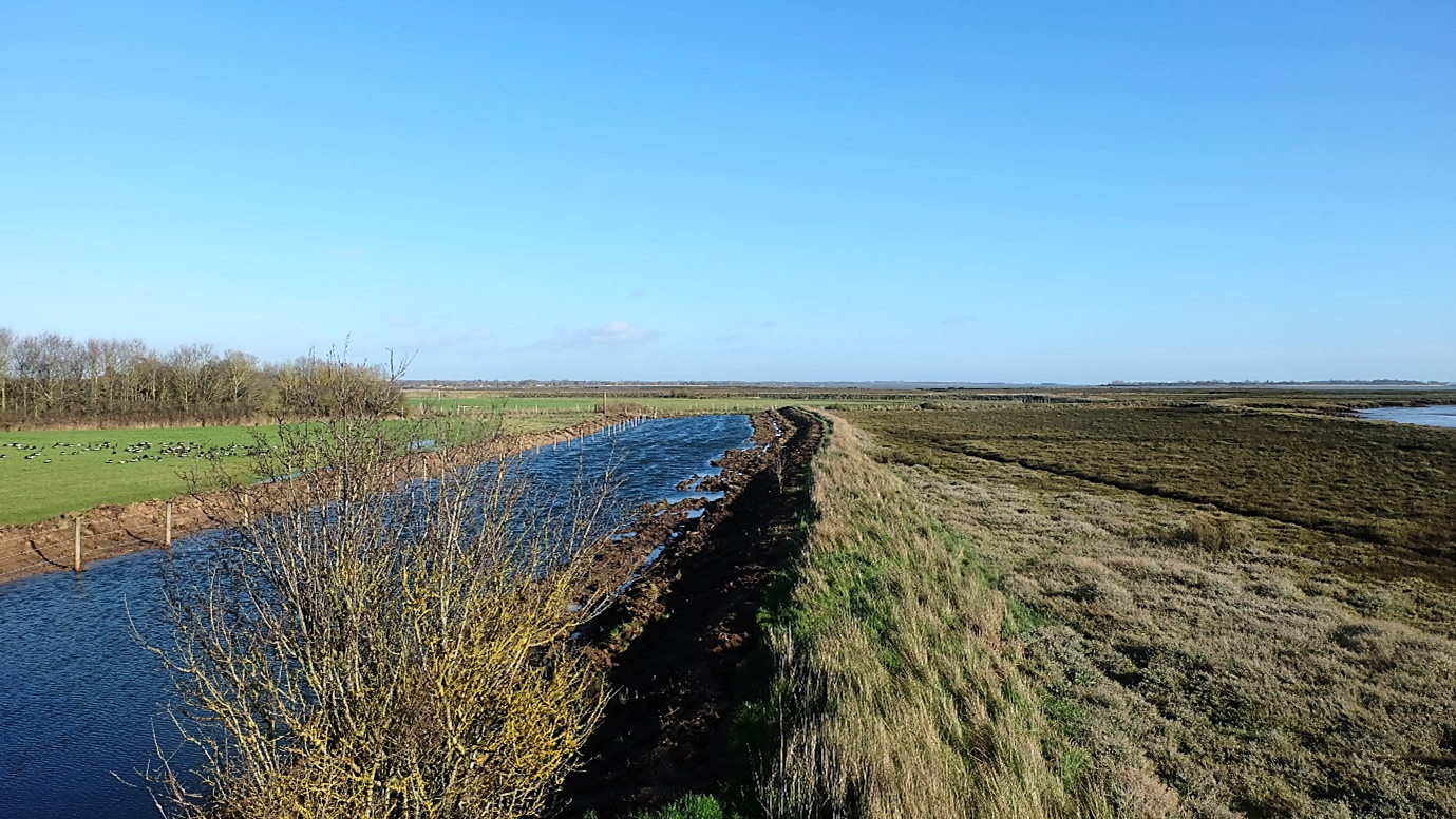
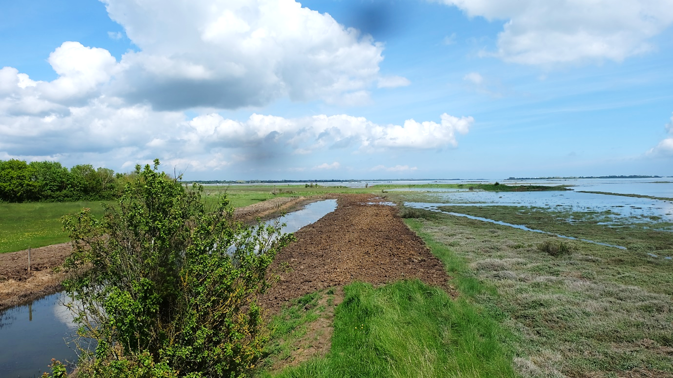
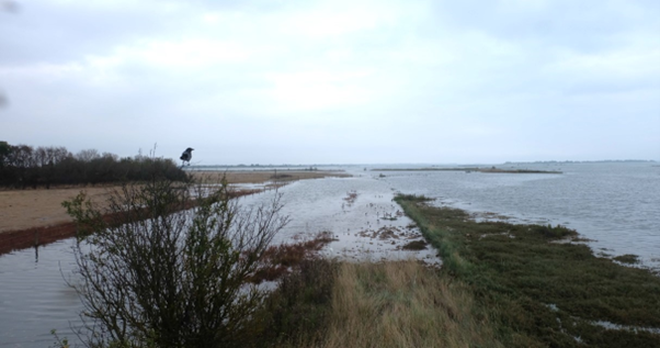
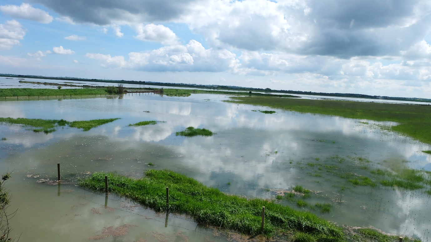
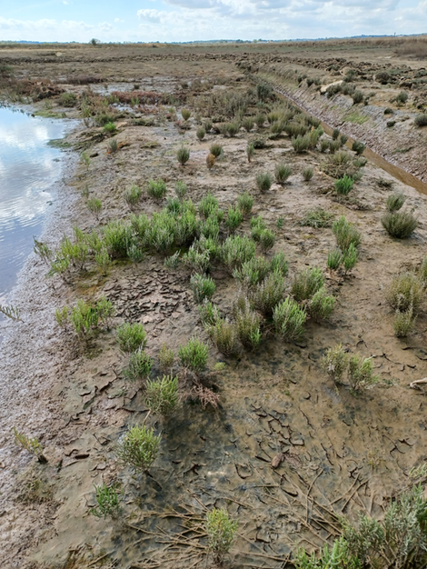
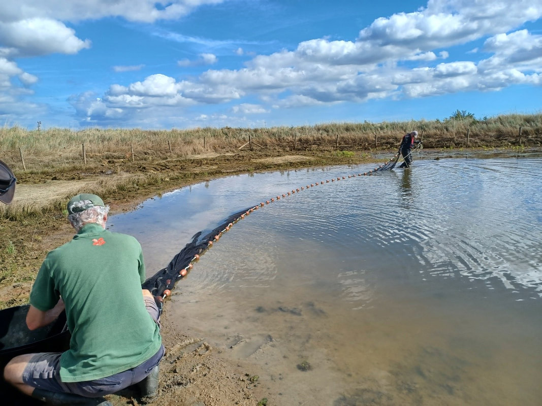
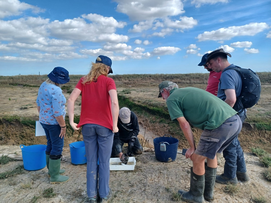
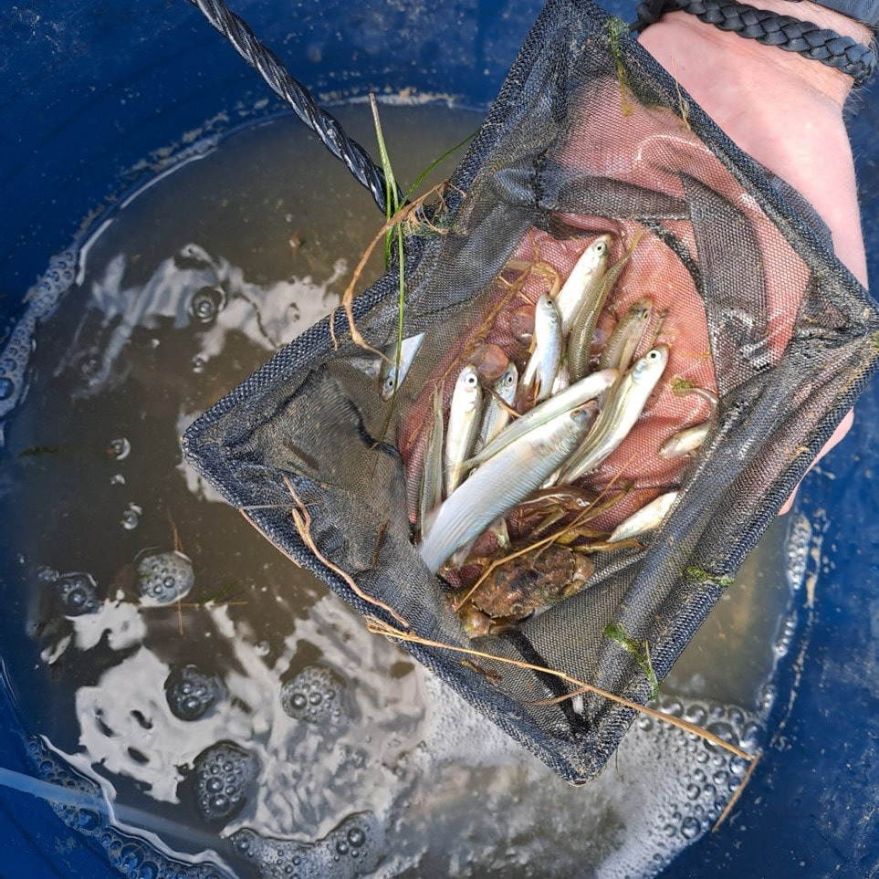
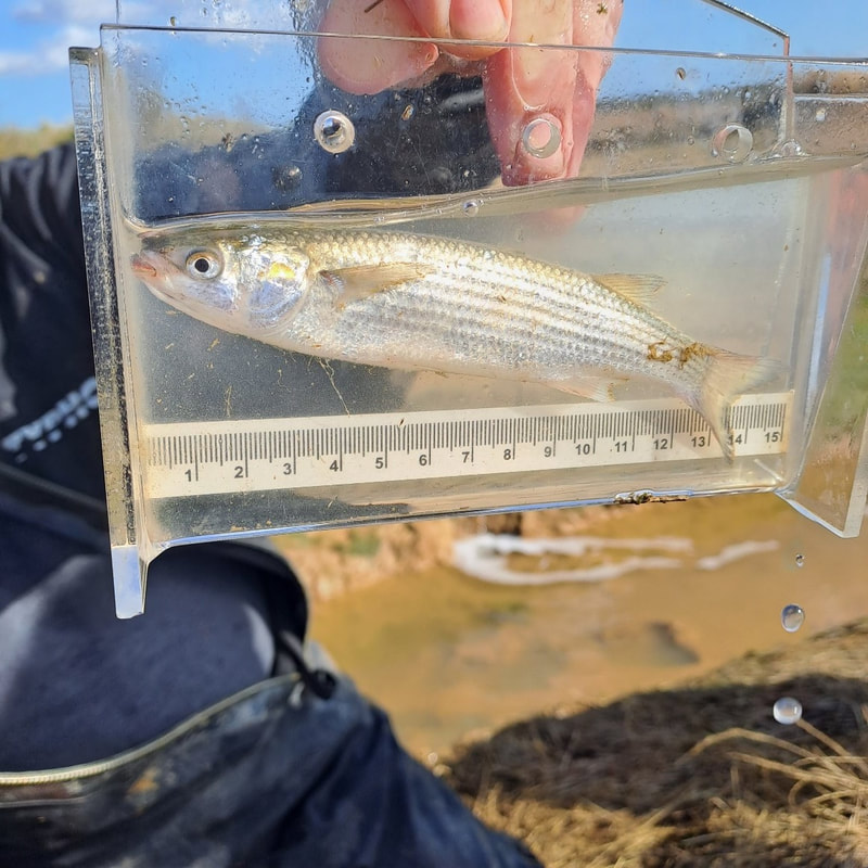
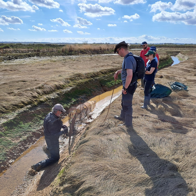
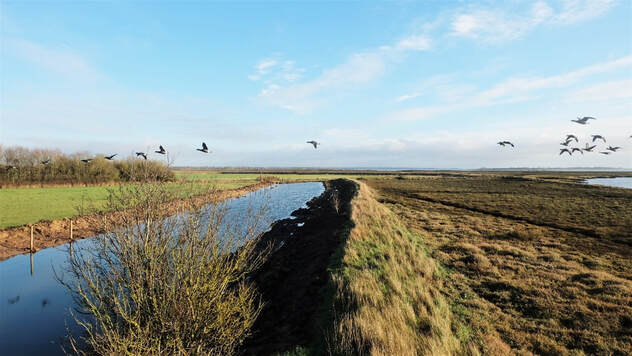
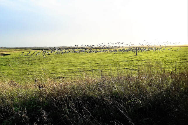
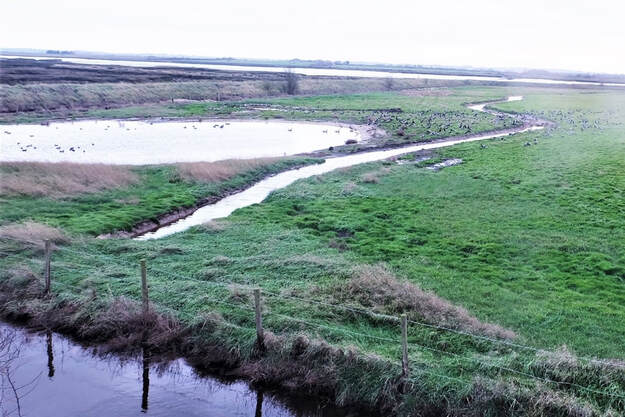
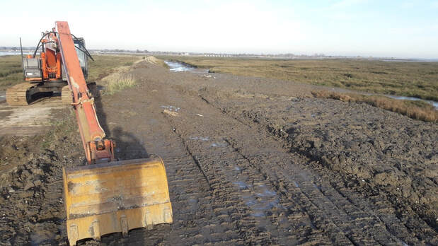
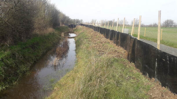
Blog by David Mason, National Trust - Suffolk and Essex Coast Ranger April 2023 was an exciting month for the Northey Island Coastal Adaptation Strategy and the LIFE on the Edge project. After several years of planning and preparation the final parts of the embankment were lowered on April 28th and the tide came into the new starter creek, finally overtopping onto the Eastern fields at high tide on the 4th of May. Hurrah! We have timelapse cameras on site to record progress and these are quite useful in comparing before and after photos. This photo shows the ‘before’ of the pond the water voles were translocated from, with Brent Geese settled in the field. The area on the right is the location of the first managed realignment in England carried out in 1991, which laid the foundation for later realignment projects around the country. This is the same view after the embankment was removed, showing the tide coming over the 1991 realignment. On particularly high tides the incoming water covers the lowered embankment and spills into the pond. Here little egrets and other wading birds can be seen in the shallows. May the 4th be with you. The forces of nature take charge at Northey as the first high tide overtops the new starter creek onto the Eastern field. Saltmarsh plants have already begun growing in the Eastern field, predominantly along the edges of the creek and scrape, whilst birds including lapwing, little egret, redshank and greenshank make use of the new intertidal area Bank Reprofiling The bank in the Northern field has been reprofiled with a shallow back slope to make it more resilient to overtopping by the tide during storm surges. Capped with topsoil from on site this will quickly regenerate and forms part of a new circular walk around the site, open April through to September. A new borrowdyke has been dug out further inland. This drains the field and links to an outlet pipe with flap valve that takes excess water into the saltmarsh. The ditch contains a deeper pond area for freshwater wildlife. The field has been re-fenced and will continue to be used for hay making and grazing which keep the grass in good condition for brent geese, lapwing and curlew to use in the winter. Water vole update- As the landscaping work has finished, the fencing to keep the water voles in their new pond has been removed. It now looks like part of the landscape and the voles are free to roam into the network of freshwater ponds and ditches. Fish survey training National Trust staff undertook fish survey training with Steve from the Institute of Fisheries Management. After laying out fyke nets in the creeks at low tide, we trawled a tidal pool with a seine net while waiting for the tide to rise and bring the fish in to the creeks. The seine net caught a range of small fish including common goby, bass, thin lipped grey mullet, gold grey mullet, stickleback, prawn and shrimp. Larger bass were caught in the fyke net nearest the seaward end of the creek. The surveyed marine life were returned to the creeks and scrapes following identification to continue their journeys around the estuary and further afield. Links to previous blogs about Northey Island Part 1: www.projectlote.life/news/northey-island Part 2: www.projectlote.life/news/ntconservationadaption Part 3: https://www.projectlote.life/news/ntwatervoles Part 4: www.projectlote.life/news/northey-update
0 Comments
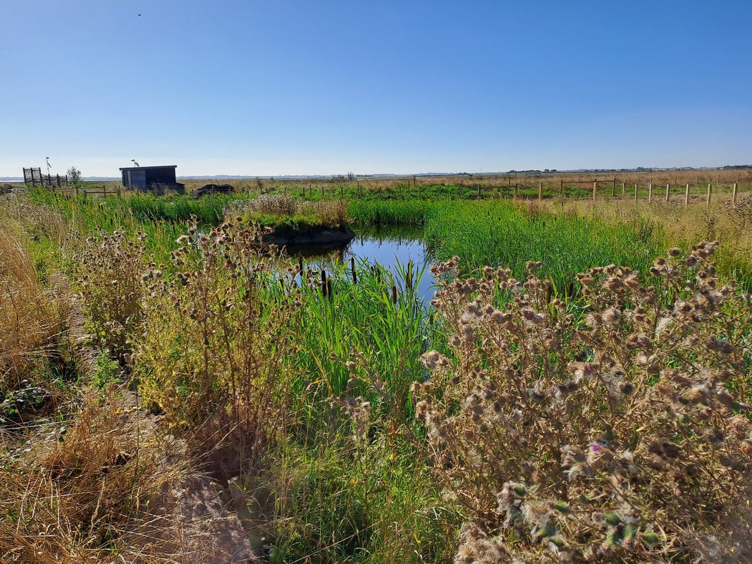
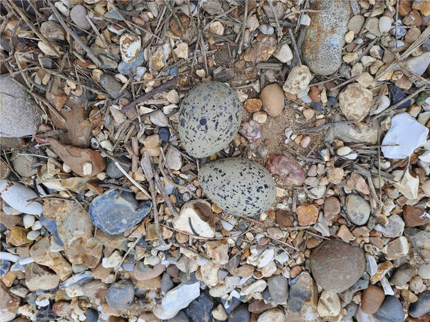
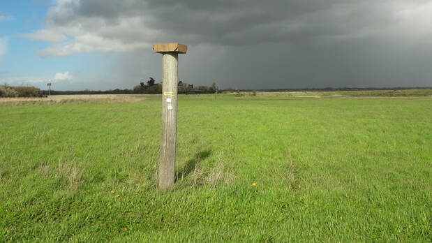
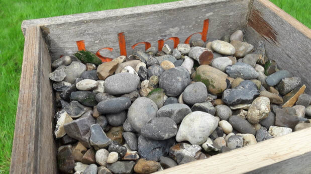
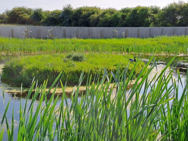
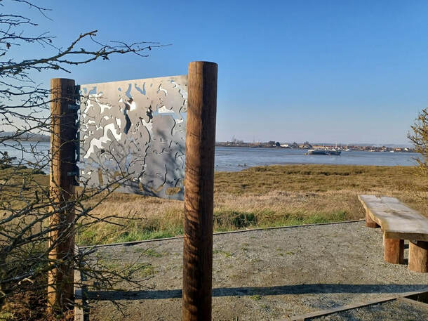
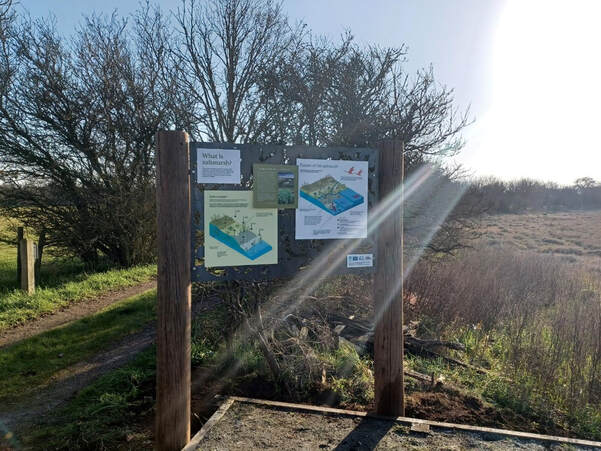
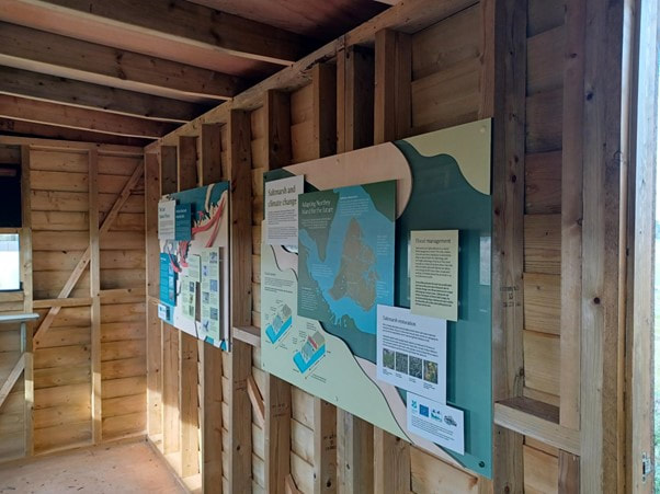
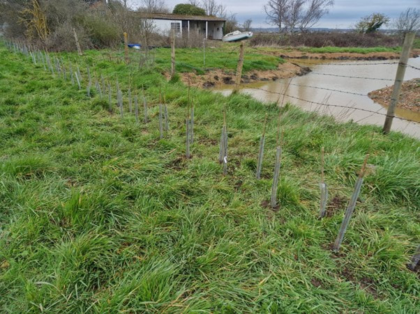
Blog by David Mason, National Trust - Suffolk and Essex Coast Ranger ‘Working with the grain of nature yields the best chance of maintaining a healthy and beautiful coast for the future, a coast that is great for people and for wildlife.’ – Northey Island Coastal Adaptation Strategy Project Vision The UK government has recognised the importance of the East Atlantic Flyway, a migratory bird route over western parts of Europe including Yorkshire, Lincolnshire, Norfolk, Suffolk, Essex and Kent. In recognition of its vital importance to bird populations and wildlife it has joined the list of seven sites put forward to join the list of World Heritage sites. The area sees huge transient bird populations pass through every year as the seasons change, and the River Blackwater in Essex, including Northey Island, is one of its hotspots. More space created for birds. The overhead powerlines across the island were removed last year and replaced with underground cables. Once the flightline was clear the brent geese that winter here, along with lapwing, curlew and godwit, began using the eastern and southern field, areas of the Island they had previously avoided. The highest number of geese since 2015 (1710) was recorded on the WeBS count, along with the highest count ever of dunlin (3875) roosting at high tide. Following the managed realignment, this area in the eastern field is designed to be underwater at high tide. It will retain water when the tide goes out and will develop as a saline lagoon. The geese enjoyed the shelter of the sea wall over the winter and used all the grassland on the island. North West Wall beneficial use of dredged sediments (BUDS) Further sediment dredged from Maldon harbour has been placed to enhance the saltmarsh in this area as part of an ongoing project. Oystercatchers nested just beyond the placed mud on a patch of gravel. We are hoping other birds may use the new nest boxes placed on top of the cut down power poles left in the eastern field. Water vole update Pond marginal vegetation is well established in the main new pond and is providing food and shelter for the translocated voles. A pair of mallard also nested in the vole enclosure and hatched 10 ducklings. Signs of water voles burrowing in the pond banks and feeding have been found with the characteristic diagonal cut on the small piles of vegetation. Later in the year they will pull these into their burrows as a winter food source. A new extension fence has been installed along a connecting ditch to allow population expansion and accommodate any further voles found during the continuing works. The fencing installed to contain the voles will be removed when the works are finished, and they will have access to all the freshwater bodies on the island. Telling the story of Saltmarsh, Migration and Managed Realignment New interpretation boards have been installed in the hide and on a viewing platform, with a a new bench overlooking the River Blackwater towards Maldon and Heybridge. The three boards illustrate different aspects of the island’s environment. The first board explains the importance of saltmarsh for biodiversity, flood protection and carbon storage and the second highlights the East Atlantic Flyway used by migratory birds. The third board illustrates the work of the LOTE project to realign some of the sea walls to create 10 hectares of new saltmarsh and protect 50-60 hectares of saltmarsh for the next 100 years, predicted to have been lost to the effects of climate change without action. Another new hedge and pond created 276 hedge plants were planted in total and included hawthorn, hazel, wild honeysuckle, spindle, field maple, buckthorn, hornbeam, cherry plum and blackthorn. These species were selected to provide a good variety of fruit, blossom and year-round interest, so will hopefully increase the food sources available for birds and insects on the island. These have been weeded and mulched by the Essex and Suffolk Volunteer Group along with removing old barbed-wire and litter from the saltmarsh. Three new ponds have been created, linked by a connecting ditch, in the north east corner of the island. They have attracted yellow wagtail and mallard. Links to previous blogs about Northey Island
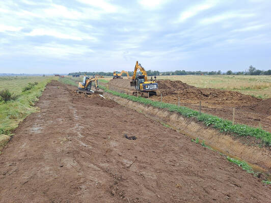
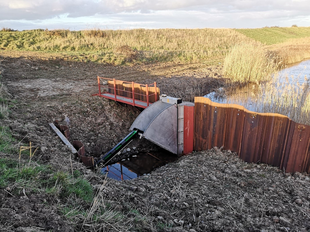
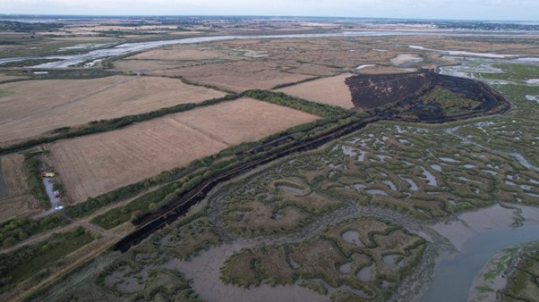
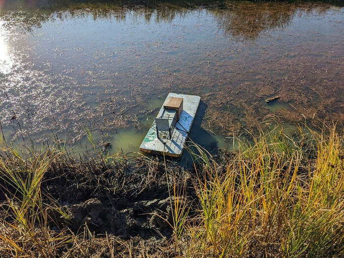
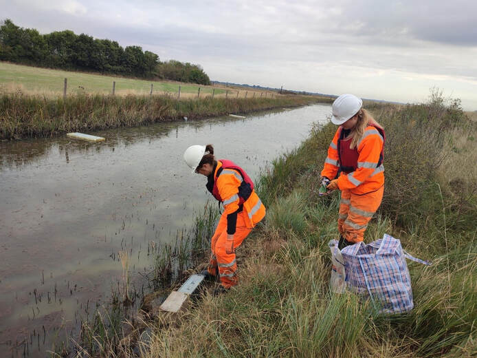
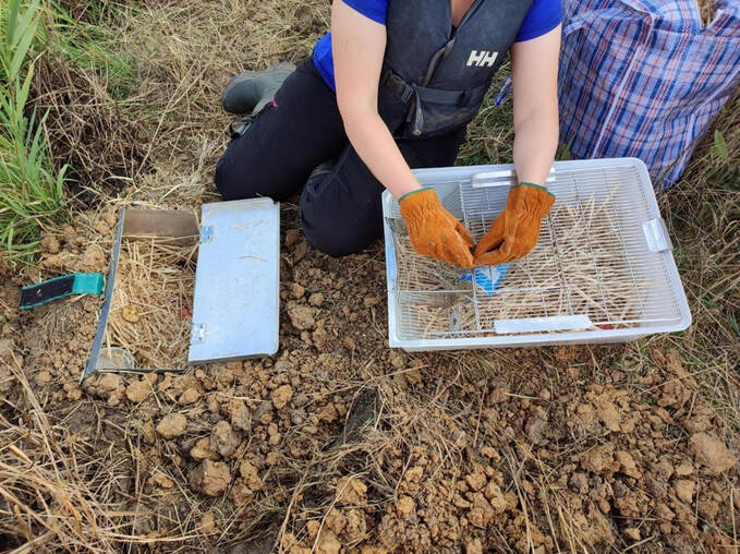
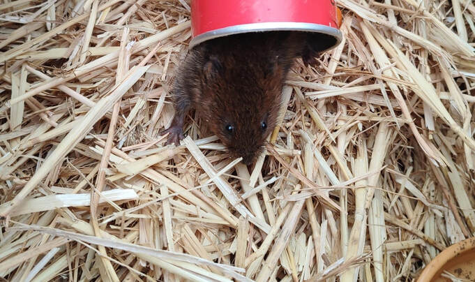
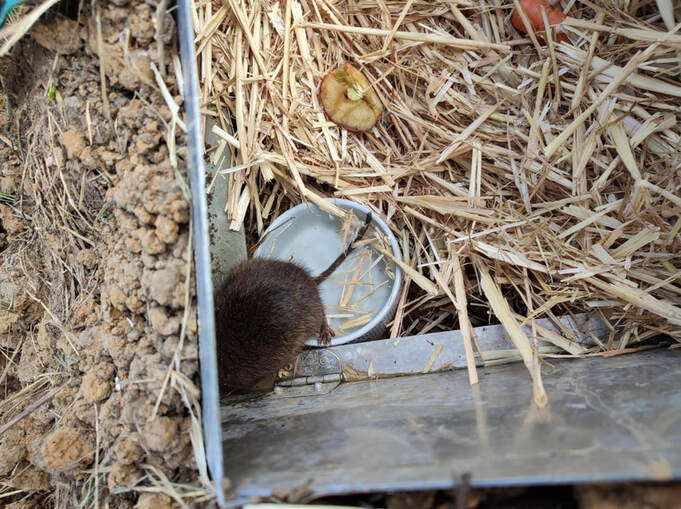
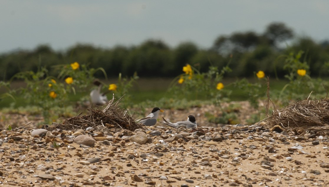
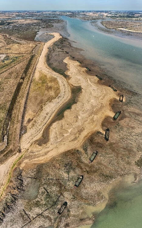
Part 1: www.projectlote.life/news/northey-island Part 2: www.projectlote.life/news/ntconservationadaption Part 3: https://www.projectlote.life/news/ntwatervoles Blog by Kieren Alexander - RSPB Site Manager, Old Hall Marshes Reserve Last Summer and Autumn was a time of high activity at Old Hall, as the next round of LIFE on the Edge works was completed. Like in previous years, the focus of the work was on reprofiling footdrains to benefit breeding waders by improving edge and then using this claimed material to rebuild and repair some historical but damaged crossing points. The latter for the purposes of allowing us finer and greater water control and greater compartmentalisation of the marshes. However, this time we also completed the installation of a new tilting weir with eel pass, this is an important update to the site’s infrastructure. It replaces an old, leaky and somewhat difficult to use wooden dropboard sluice with a new purpose built easier to use at all water levels sluice. The important part of this is the ability to use the sluice at all water levels, in the event of a saline incursion our ability to remove water from the marshes will be critical. This weir with its safe access route will enable us to do this. The other improvement reducing the amount of freshwater that was being lost through the old dropboard, freshwater is critical to the health of the marshes and is one of the things we can’t control. Although it may sound odd to have an eel pass on this, the borrowdyke where the weir is placed is hardly a main river, as eel numbers have dwindled freshwater marshes near the sea have become increasingly important as refuges for this species and is now home to a good number of eels. This eel pass will allow the eels that call Old Hall home to complete their natural lifecycle. It will ease passage into the marshes and then when the time comes allow them to leave the Marshes and return to the Sargasso sea to spawn, it what must be one of the most incredible migrations of any animal. During the works we were reminded of some of the pressures that are increasingly prevalent to highly valuable and designed sites, this time in the case of a wildfire which ripped through around 10ha of scrub on the marshes. Incidents like this remind us of why we need to start the careful adaptation of our protected sites and change the way we work. Later this year, we will be concluding our LIFE on the Edge work at Old Hall, with the installation of some new solar pumps but before that we have the breeding season to navigate, although we may not have received the water we would have wished for this winter (we seem to have been stuck in a dry high pressure system for months), the key fields are more or less where they need to be and before long lapwing will laying eggs and raising young across the marshes. Blog by David Mason, National Trust Ranger After a busy summer and autumn, much of our coastal adaptation work on the island has paused for the winter and the site is closed to visitors. Brent geese and other waterfowl and waders now have the place largely to themselves. WeBS counts have recorded a wide range of birds on and around the island with avocet, curlew, golden and grey plover, redshank, dunlin, lapwing, black-tailed godwit, wigeon, teal and Brent geese being most numerous. Other species, mainly clustered around the new freshwater pond, have included yellow wagtail, linnet, whinchat and kingfisher. This has been a very useful source of freshwater for birds during the extended dry and hot weather this year, although levels dropped severely towards the end of the summer. This also led to new hedge plants suffering, which had to be watered several times to keep them alive. Blanket weed smothered newly planted marginal plants as the water levels dropped as well. Volunteers helped with the watering and clearing blanket weed. The abundant autumn rain has provided a welcome top up for the water features on site, however. Water vole translocation As I mentioned in my last blog the road to establishing new saltmarsh is a long and complicated one, and involves a number of stages and licenses which need to be complied with and completed before the next one can be implemented. One of these has now been completed. Following a successful process of habitat creation, trapping and translocation, 16 water voles have now been relocated to their new home out of the reach of the sea on Northey Island. As part of a Natural England licensed translocation of a protected species a new freshwater pond was created in 2021 and vegetation has since established to provide a new home for water voles (as well as being popular with local birds, as mentioned above). The vole’s less-than-optimal, existing habitat is threatened by inundation by the sea and is to be realigned as part of the LIFE saltmarsh creation project. The voles were trapped and translocated over several weeks by licensed professionals. The voles are carefully removed from the traps in cages, with tubes from a well known brand of crisp, their ideal hidey hole in transit. These are then used to place them into bottomless release boxes dug into the bank of the receptor pond. The voles can feed on provided carrots and apples and then burrow out when they are ready. The fence around the pond will keep them contained until they are fully established and the managed realignment works are completed. When removed, the voles will have access to a wider network of ponds and ditches around the island. Monitoring of the voles will continue to check on their progress over the coming years. The way is now clear to remove part of the embankment next year to allow the tide in and begin the next phase in process of establishing new saltmarsh. Visitor facilities A new path has been installed to the hide, which overlooks the new vole pond and what will be the new intertidal area following the embankment realignment. If they are lucky visitors may see a vole or hear a plop as they enter the water. Along the track we have also installed a viewing platform and bench overlooking the river and mudflats towards Maldon. I led a guided walk for visitors in September to talk about the threats to saltmarsh from climate change and sea level rise and the importance of the managed realignment and habitat creation project in contributing to saving this habitat. Attendees were able to use the new facilities for the first time. Remembering the history of Northey As well as providing important habitats for local wildlife, the island was also the site of Battle of Maldon between Anglo Saxon and Viking armies, which took place here in 991AD. This is commemorated in an epic Anglo Saxon poem and an exciting Lego renactment on YouTube. The latter captivated year 5 pupils at a local school to whom I recently gave a talk about the island as part of their studies of the Vikings. Nobel Peace Prize winner Sir Norman Angell also lived here in the 20th C. Links to previous blogs about Northey Island Part 1: www.projectlote.life/news/northey-island Part 2: www.projectlote.life/news/ntconservationadaption Blog by Kieren Alexander, Site Manager for RSPB Old Hall Marshes After the successful recharge operation of Autumn/Winter 2021, attention has now turned to monitoring both the breeding colony present on the island and of course how the sand and shingle is moving and responding to the water. Thankfully its good news on both fronts! Starting with the little tern colony and other beach nesting bird that nest at Horsey. Little terns had a great year, with 22 nests fledging 19 young. There were 14 AON’s on the new recharge and a further 8 on the old recharge, this is an increase of 5 nests and 11 fledged juveniles from 2021 and a welcome return to form for this colony that decreased during 2020 and the impact of recreational disturbance. Ringed plovers did well, with all four pairs of young fledging at least one chick each. Oystercatchers stayed stable at 10 pairs and there were the normal low levels of black headed gulls. We are thankful to the environmental team at Tendring District council, in particularly Leon Woodrow for erecting signage and closely monitoring the species and any potential disturbance over the summer months. What has been impressive is the way the little terns immediately colonised the new area of beach, with many nests found on this new area, this shows the importance not just of safeguarding existing colonies from the impacts of climate change (which was one of the aims of the project) but also the vital need to create new habitats for our species. As well as the beach nesting colony we have also been monitoring the sand and shingle and how it is moving in response to tide and wind after being recharged. We are lucky at Horsey in that we have real life model that was created in the 1990’s in the form of the existing beach (to the west in the photo). So, we have a strong idea of how the material will respond. However, it is always nice to see the theory become reality. The GIF below shows the results of our monitoring since the material was deposited, so far, we have undertaken three monitoring flights and it shows the material initially being smoothed out and then gradually being pushed landwards towards the existing beach and then following a classic longshore drift movement to the west, making it a near mirror image of the existing beach.
Movement has been slow so far, but it is assumed that the material does a lot of its moving in the winter season, so the next results of the next two flights will be interesting to see and how it continues to respond. In case you missed it, here is the link to first part of Horsey Island Recharge Project blog, the second part and the third part. |
Archives
April 2024
Categories
All
Photo credits: Oystercatcher by Katie Nethercoat (rspb-images.com)
LOTE Logo credits: Saskia Wischnewski |

